Multnomah Falls: Exploring the Gorge

Portland, OR
Elevation: 50ft. 

With my cousins traveling through South Africa and REI having me on a regular schedule I have been in the city more consistently now. It’s been lonely and has been driving me a bit stir crazy but that’s what the days off are for. This week I decided to explore more of the Portland and Columbia River Gorge areas. Since arriving her in May I have travelled all over Oregon and much of Northern California but have deflected the natural areas around my own home base. Hiking part of Forest Park yesterday I was inspired to get further away from the sounds and smells of the city and decided to hit the gorge today. I hiked a loop that started off by none other than the famous Multnomah Falls!

image

Multnomah Falls (620 ft.), 2nd tallest year-round waterfall in the U.S.

image

A view of the gorge. 

image

A view down from the top of Multnomah Falls. 

image

Another view of the gorge with I-84 in the foreground and Washington in the distance.

image

Past the falls the trail becomes unpaved and more natural.

image

And more so - if this were pokémon I would need a Rhyhorn to cross this.

image

Log POV.

image

Welsendanger Falls (55 ft.), one of the many smaller waterfalls along the Multnomah Creek.

image

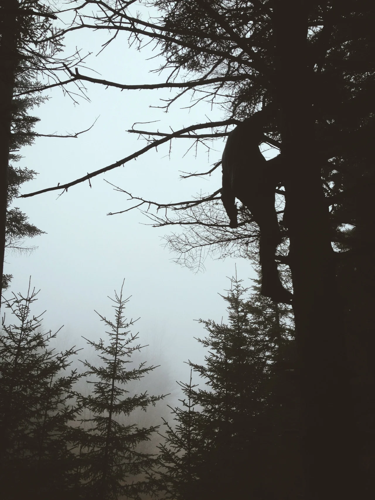
Wet with fog and rain, the mossy forests of the PNW create an almost haunting energy. 

image
image
image

At times the water and trees seemed two parts of an endless corridor. 

image

After a certain elevation a fog bank settled into the forest giving me very strong “Over the Garden Wall” vibes.

image
image

Inspired by Ant Man. My Banana Slug friend.

image

Fall is here in the PNW and the Big Leaf and Vine Maples are casting their eerie glow through the wet wood. 

image

mëh.

image

Breaking through the fog I began my descent. The hike to Larch Mountain would have to happen another day.

image

This small fall flowed straight over the trail. 

image

Downstream of another large waterfall. 

image

Fairy Falls (20 ft.)

image

Cedars frame the babbling creek.

image

This part held a bittersweet reminder of Dolly Sods.

image

50/50

image

A memorial to a fallen firefighter. 

image

The gorge.

image

Wahkeena Falls (242 ft.) 

image

Wahkeena Creek’s junction with the road. 

My first journey into the gorge was a success. I had to cut my hike short because of sunlight but I am certainly smitten with the gorge and will be back soon!

Love and miss you all,

Chris

10/14/13
Dolly Sods Wilderness Area (North), WV

Today I had the opportunity to hike and camp Dolly Sods with my SMSC crew. The wilderness area had a good two days to soak up all the rain from this weekend and was a boggy, mist covered trail by the time we got there. The sprawling plains had turned into a sea of fog trapped in a valley. As we hiked deeper, ghostly pine trees began to emerge like specters leading us towards the forest. As the fog lifted the already obscure trail markers and trail signs became easier to find and we began picking up speed. Initially we planned on finding campsites off of Bear Rocks Trail but our pickiness kept us moving forward. Eventually we found ourselves 5 miles in along the beautiful left fork of Red Creek in a forest of pines. The mist held off long enough for us to set up camp but as we began to look for firewood it crept back in and added a eerie calm to the red-colored creek. Thanks to our amazing wilderness-survival-bushwacking-aint-no-thang dream team we had a ridiculous amount of firewood and a big fire going in no time. We all began desperately warming our feet and drying our soaked boots and socks. As the night drew closer and we prepared to camp down for the night we began setting up dinner. We roasted peppers on Elliot’s make shift grill (what a disgusting vegetable), pan roasted onions, grilled up some meat sticks and topped it all off with freshly boiled rice. I don’t know what we would have done without Tyler’s whisperlite. The night was a peaceful, cold night made perfect by our warm sleeping bags. Tent #1 was knocked out and ready to sleep but Tent #2 would not stop laughing and singing - and truth be told I didn’t mind that much at all. It’s the camp vibes and the good people that we do these things for. 

The next morning we awoke to a rekindled fire and the best soupy pancakes one could imagine - all thanks to Mr. Tyler Robic and Stubey Poopy. After eating through an entire bag of pancake mix we suited up for the wet hike out. The plan was to head east on Blackbird Knob Trail, north on Upper Red Creek Trail and then east on Doblin Grade back to Bear Rocks and the parking. True to my record thus far, Dolly Sods didn’t fail to utterly confuse me and we found ourselves standing in an open field without a trail facing a dense pine forest quickly being overtaken by fog. It was both beautiful and frightening how fast fog can move. In retrospect, I realized we needed to stay left after crossing Red Creek and to follow the path hugging the creek (one of two trails flanking a trail sign that simply said, “Doblin Grade”). Honestly, all I ask for are arrows, West Virginia. We knew that we needed to head northeast to intersect Beaver View Trail or the fire road so we hugged the ridgeline following game trails until we emerged into a pristine field of moss, pines and rocks. It was one of the most beautiful things I’ve ever seen. One could look out into the horizon and see the foggy vista stretch on forever. Ever conservationists, we made sure to stop and flip rocks and search streams whenever possible (I didn’t, ain’t no one got time for that with my big ass pack) and we were able to find a number of Red-Spotted Newts. We eventually approached a climb leading to a second pine forest but we hesitated to enter, hoping instead to find a way around it. Lucky for us, Laurie was able to use her animal-like game trail identification skills to zig zag our way across what felt like random directions back onto Beaver View Trail. From there it was smooth sailing back to the fire road and to the cars. We decided to end the trip with a quick drive south to a bird banding overlook we visited during class but the fog was so thick that the sprawling mountains had turned into a sea of mist. In a way it was the perfect way to end the trip. It was the first time adventuring with this new group of friends and despite all the rain and fog and swamp we all stayed positive. In fact, we had an amazing time just simply being with one another and being lost in the outdoors we are all fighting to save. In a way, the cold, crisp air and endless fog was a perfect ending to a perfect trip. 

Here’s to my rough and tumble friends.

And never saying no to adventure.

Chris